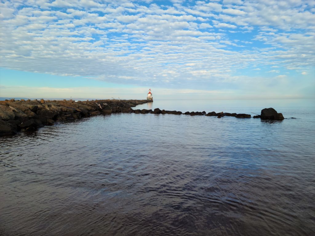
Underwater mapping expands knowledge spanning from the St. Louis River to the Great Lakes
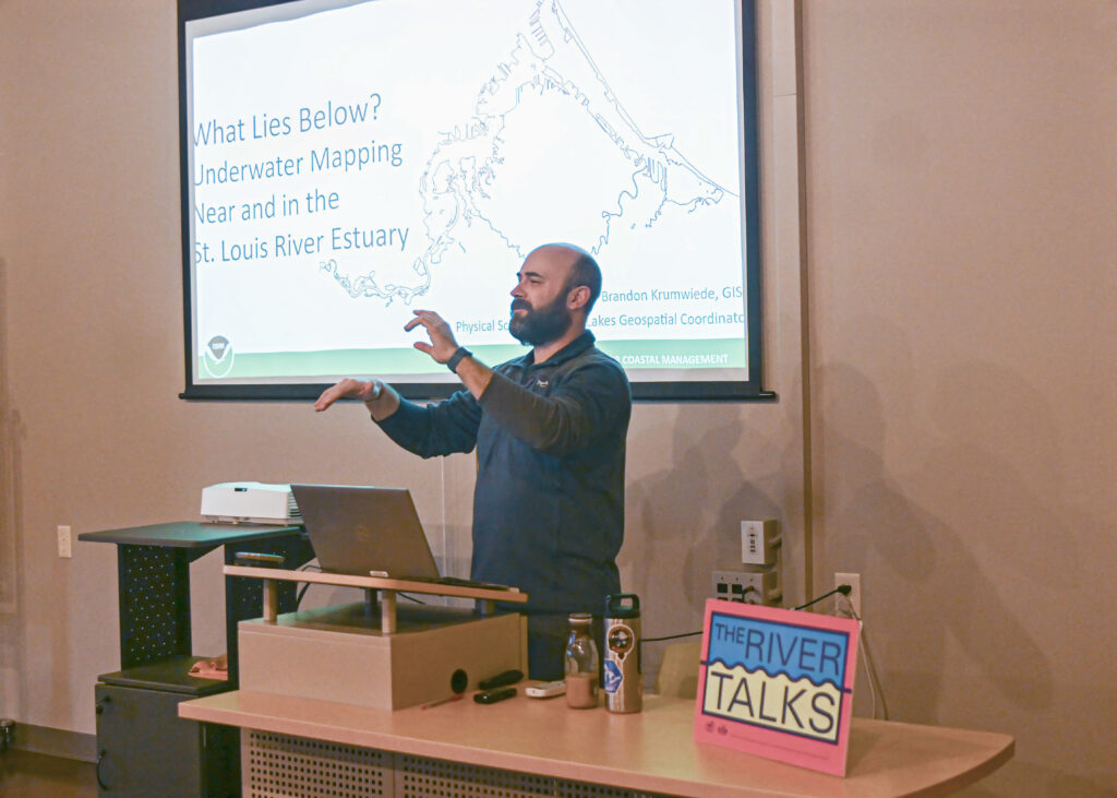
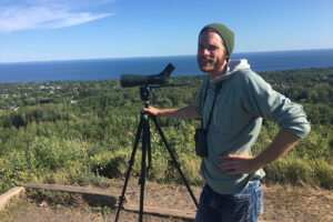
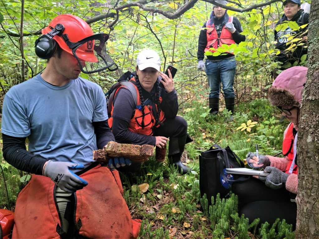
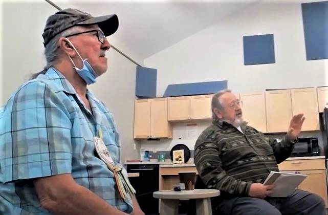
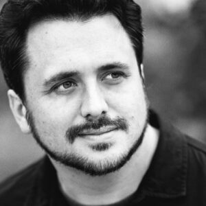
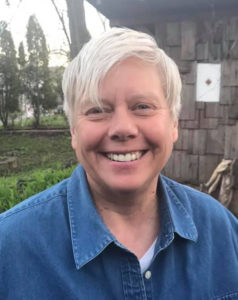
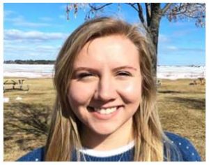
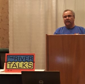
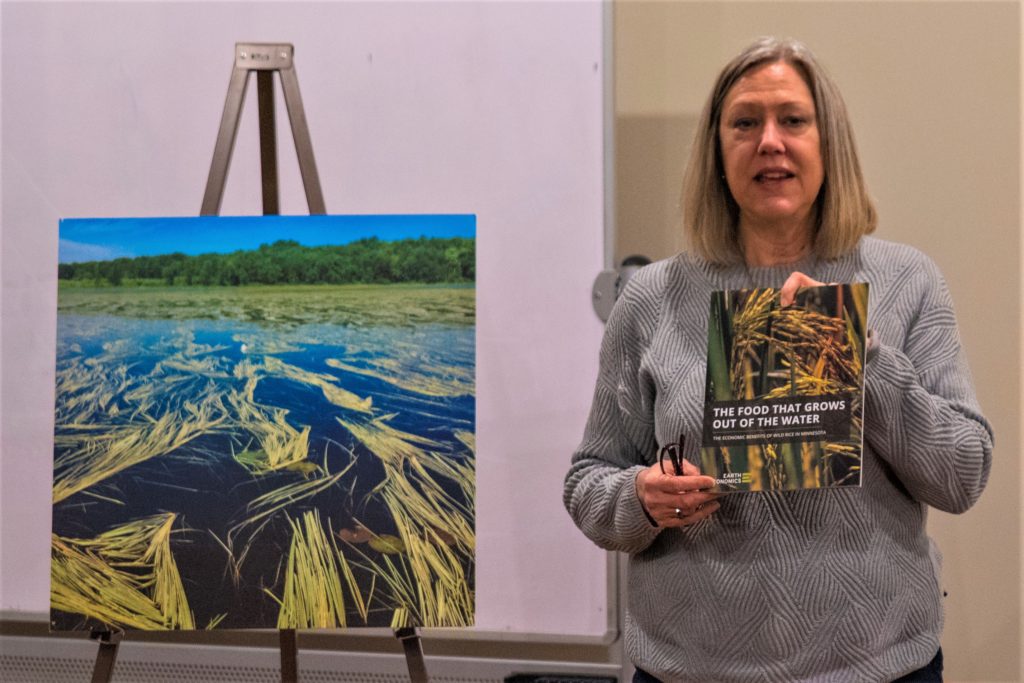
Brandon Krumwiede describes mapping projects during his River Talk. Image credit: Michael Anderson
By Lily Cartier, University of Minnesota Duluth
Knowledge of the oceans is more than a matter of curiosity, our very survival may hinge on it.
–President John F. Kennedy
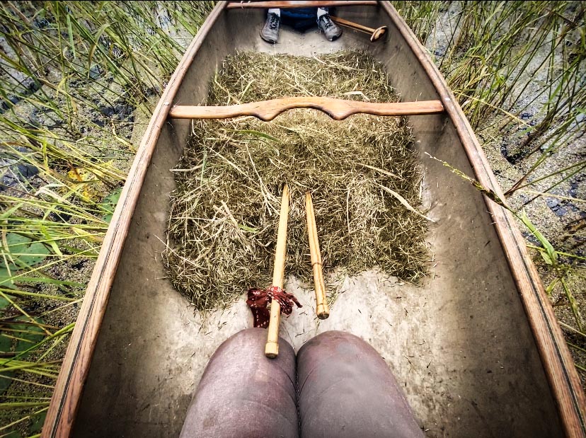
While this inspiring quote is about the oceans, the same could be said about two waterbodies that we know and love locally: the St. Louis River and Lake Superior.
But how much do we really know about these waters? Brandon Krumwiede, a Great Lakes geospatial coordinator for the National Oceanic and Atmospheric Administration (NOAA), told listeners at the March River Talk held at the Lake Superior Estuarium in Superior that what lies at the bottom has largely been unknown and unmapped.
Krumwiede said that full-fledged mapping of the St. Louis River Estuary was not undertaken until 1943, driven by World War II and the importance of local ship-building and steel production.
“It was really important to map out the river and the estuary so that we had safe navigation, commerce could commence, and all the vessels that were being built in the Twin Ports could be shipped overseas,” Krumwiede said.
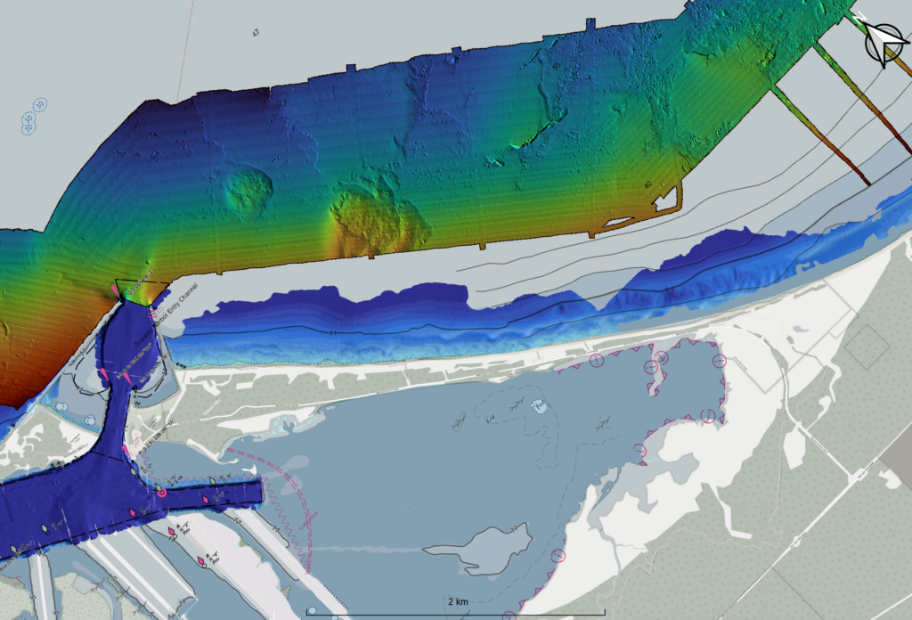
After that, estuary mapping efforts languished. Currently, there is not a comprehensive modern picture of the St. Louis River Estuary or the Great Lakes. It is difficult to know the health of the plants, animals and water in the area without knowing what lies below the surface.
Along with an assortment of government and local agencies, NOAA gained funding from the Great Lakes Restoration Initiative in 2020 for a project called the Collaborative Benthic Habitat Mapping in the Nearshore Waters of the Great Lakes. The team uses benthic habitat mapping to measure the water levels in the Great Lakes. The goal is to map any part of the Great Lakes that has a depth of 80 meters or less. As of now, the project has mapped about 13% of the Great Lakes.
This underwater mapping is done through two different methods. The first is called “sonar,” a process that uses sound waves to map the area. This uses small survey boats that move up and down the area that is mapped. The second is called “lidar,” which stands for light detection and ranging. This mapping technique uses green lasers on vessels or drones to map the substrate.
“At night, with a bathymetric lidar survey, you[‘ll] see this plane spinning around a green laser all over the beach. It looks like a UFO,” Krumwiede said.
Both types of underwater mapping come with pros and cons – the main one being the reliance on good weather while the data is taken. As you can imagine, lake conditions in northern Minnesota and Wisconsin are not often optimal for boats and small vessels. This study has a short season of about May to early November, at the latest.
Krumwiede wished they would have prepared better for the warm weather we had this winter. “This season would have been amazing. We should have had survey boats here year-round because we were ice-free,” he said.
Why is mapping the river and Great Lakes vital?
“It’s really important to think about, how do we ensure that we get the data that’s needed to make sure we make the right decisions and manage these natural resources into the future. For our generation and future generations down the road,” Krumwiede said.
The final River Talk for the season will be held at 6:30 p.m. on Wednesday, April 10, at the Lake Superior Estuarium. Keith Okeson with the Lake Superior Chapter of Muskies Inc., will present, “Muskies and the St. Louis River.”
The post Underwater mapping expands knowledge spanning from the St. Louis River to the Great Lakes first appeared on Wisconsin Sea Grant.
Blog | Wisconsin Sea Grant
https://www.seagrant.wisc.edu/blog/underwater-mapping-expands-knowledge-spanning-from-the-st-louis-river-to-the-great-lakes/

 The in-person event will begin with social time featuring cake and refreshments. Hurley’s presentation will begin at 7 p.m. and will be available virtually (see Zoom link below).

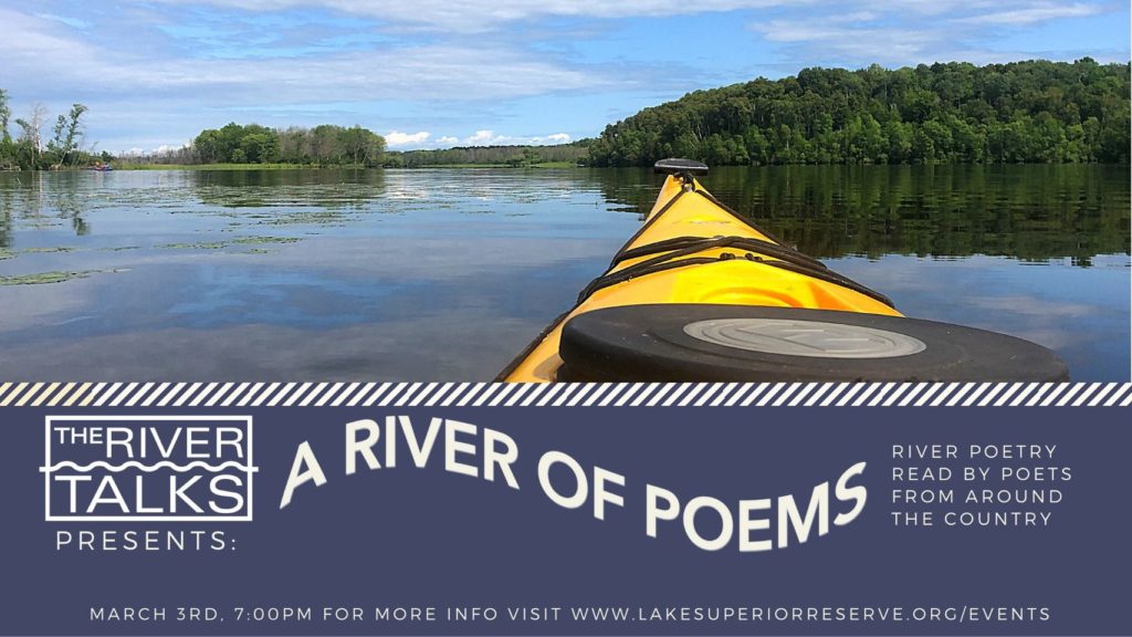
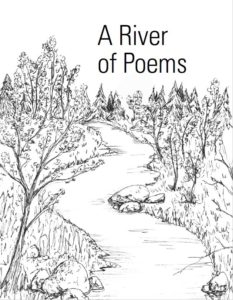 It’s a thin volume with a worldwide span. In 2020, we sent out a call for river poems for
 In reality, our call for river poems through the literary submission management platform Submittable garnered interest from 76 poets from across the U.S. and around the world. They submitted 148 poems for consideration.
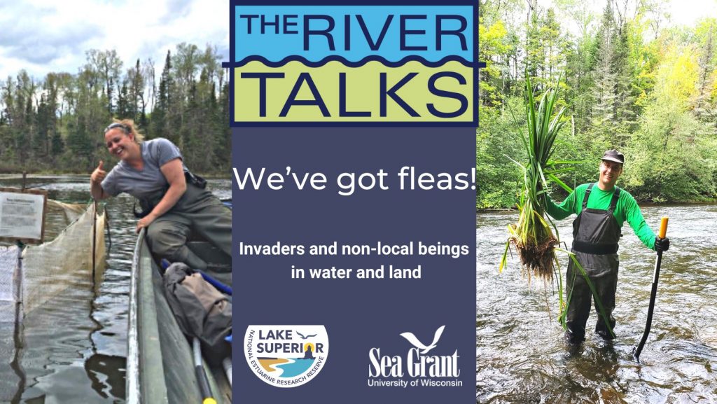
 The River Talk series is partnering with Café Scientifique Twin Ports with a virtual talk at 7 p.m. Wednesday, Nov. 11, via Zoom. Dustin Haines, research coordinator with the Lake Superior National Estuarine Research Reserve will present, “Should I Stay or Should I Go? The Clash of Wetlands With lake Levels, Invasives and Humans.”
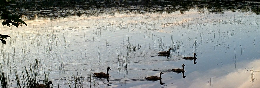
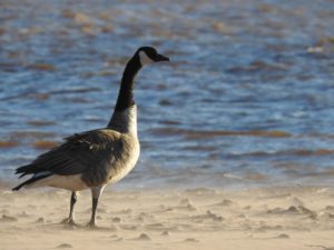
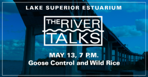 The River Talk series is changing format for the final talk for this academic year. At 7 p.m. on Wednesday, May 13, via Zoom, Sam Hansen, former undergraduate research fellow with the Lake Superior National Estuarine Research Reserve, will present, “Deterring Geese on the St. Louis River to Protect Wild Rice.”
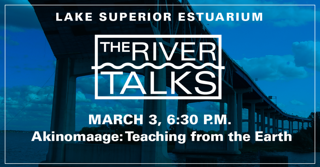 The River Talk series continues this month, but will be held in a different location and day of the week. At 6:30 p.m. on Tuesday, March 3, in the French River Room 1 at the Duluth Entertainment Convention Center (350 Harbor Drive, Duluth, Minnesota), Vern Northrup, member of the Fond du Lac Tribe of Lake Superior Chippewa, will present “Akinomaage: Teaching From the Earth.” Northrup will discuss how he uses photography as a tool to educate both himself and viewers about the rhythms of nature, the preservation of tradition, and the relationship between resilience and sustainability.