On October 2, a tour group with the East River Collaborative gathered on Webster Avenue in Green Bay, Wisconsin, to learn how the median, bristling with native grasses and late-season blooms, serves as both a sponge and spot of beauty along this busy stretch of road.

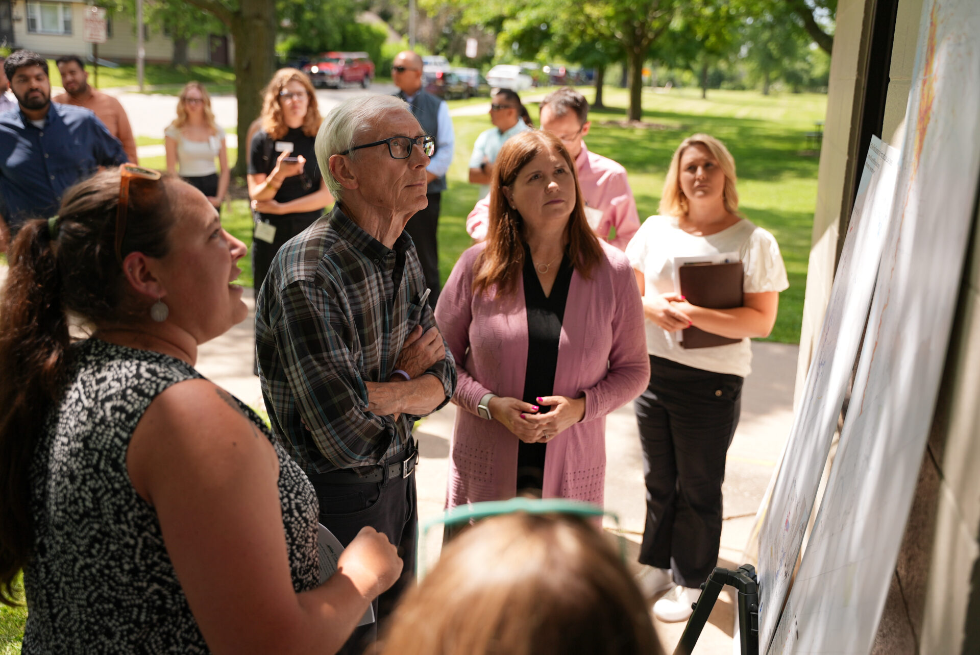
“These plant species offer aesthetic value. They also offer pollinator habitat,” explained Adam Meade, a stormwater engineering technician with the city of Green Bay who maintains the median. “And the real key thing is that they treat stormwater.”

The shallow, vegetated depressions, known as bioswales, were one stop on the East River Collaborative’s tour of green stormwater infrastructure projects across the city. The event brought together local municipalities and environmental organizations to learn about natural ways to slow, absorb, and treat runoff. For Wisconsin Sea Grant’s Julia Noordyk, who helped organize the tour, it was a showcase of possibilities.

“We wanted to give people the opportunity to see green stormwater infrastructure in person and ask questions about the design, costs, and lessons learned,” she said. “These projects are possible, and they can take many forms.”

A stormwater engineer in a bright yellow vest explains how bioswales catch stormwater on Webster Avenue in Green Bay.

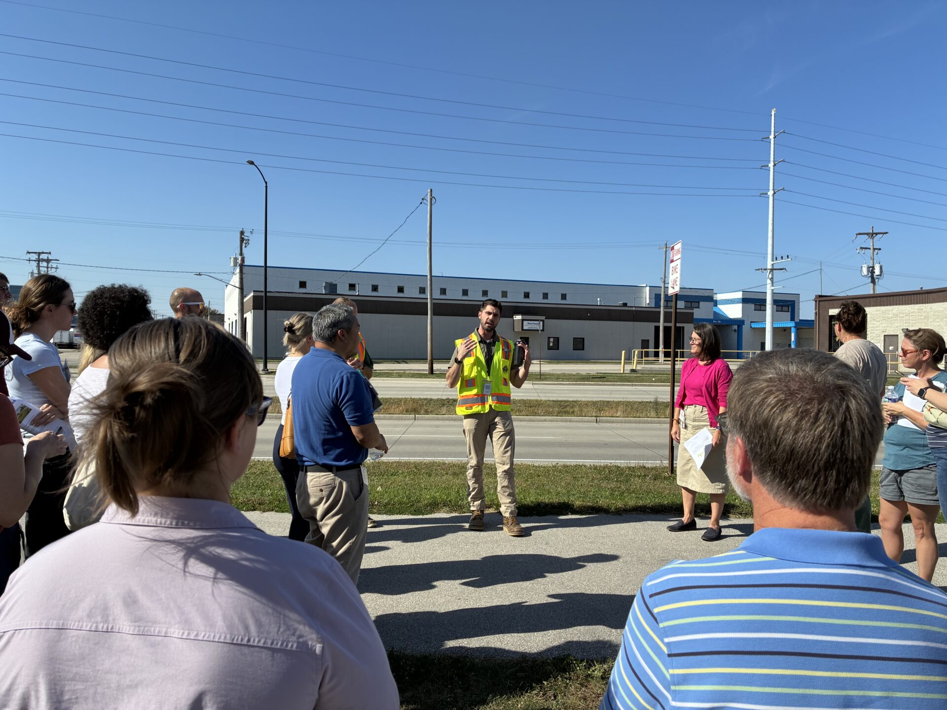
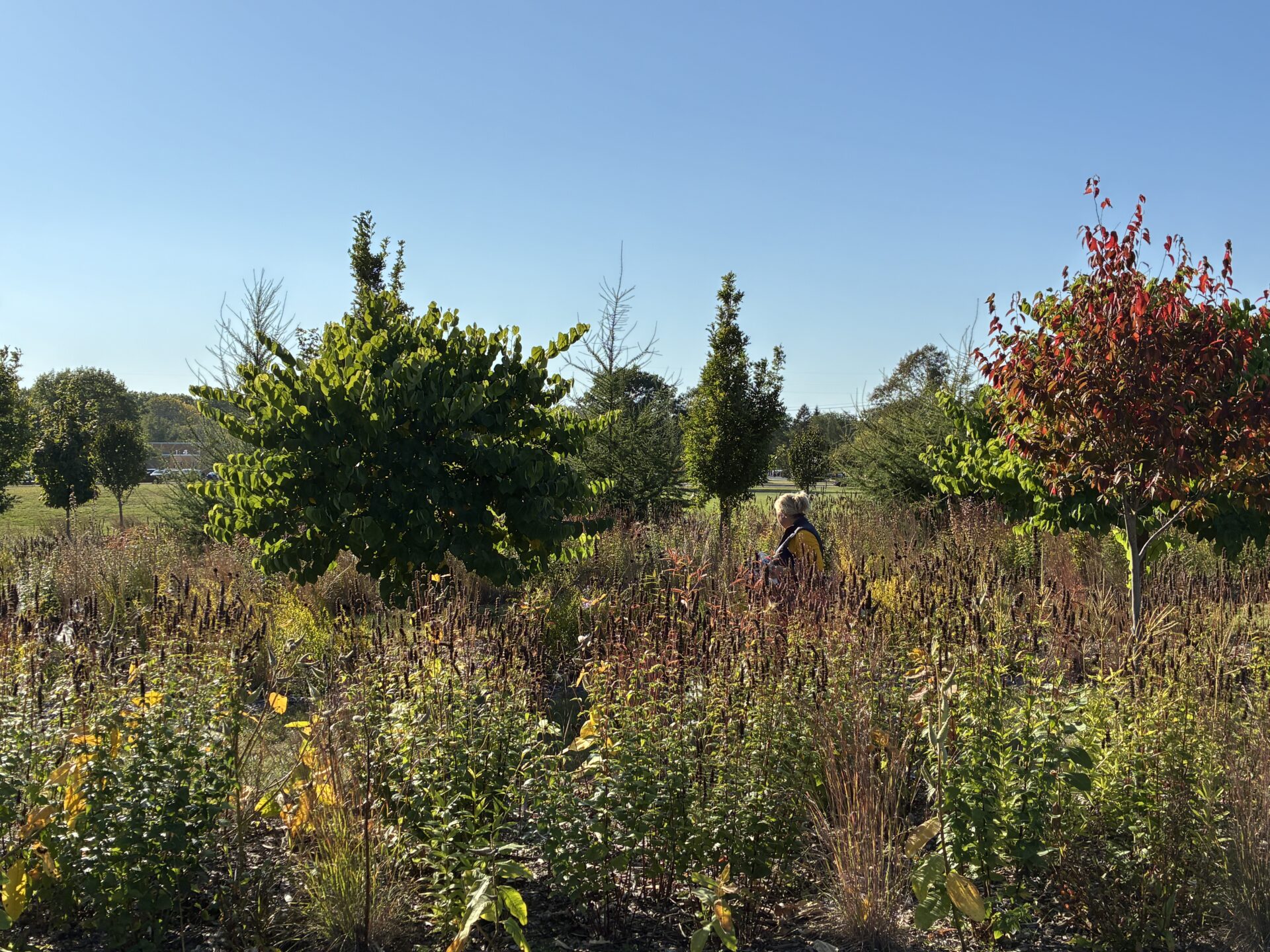
Adam Meade explains the Webster Avenue bioswales, which are located in the median of the road behind him. Photo: Wisconsin Sea Grant

Unlike traditional infrastructure, which relies on impermeable surfaces like pipes, gutters, and ditches to transport stormwater away from other impermeable surfaces like roads and parking lots, green stormwater infrastructure mimics the way water moves in nature and encourages it to soak into the ground where it falls. That absorption is a good thing. It means fewer contaminants running into waterways and — key to the East River Collaborative’s mission — less flooding.

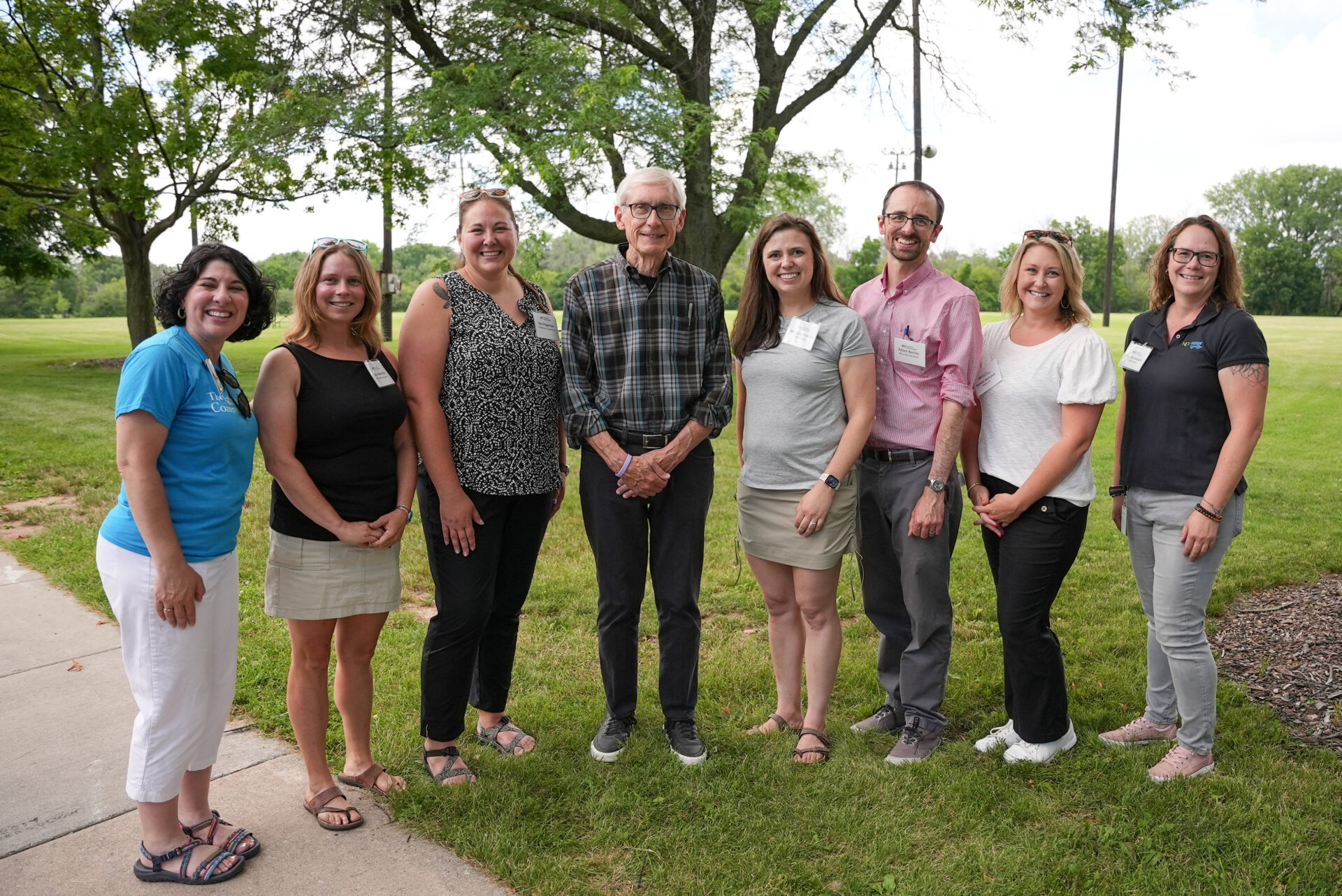
The collaborative formed in response to historic flooding of the East River in March 2019, which impacted both Green Bay and neighboring communities. Since then, the group has brought together municipal, state, federal, nonprofit, and university partners to build resilience to floods across the East River Watershed. Much of their work revolves around education so partners feel empowered to make choices that make sense for their communities.

“We really want to use this platform to share knowledge and expertise and funding sources with each other,” said Kari Hagenow, a coastal resilience specialist with The Nature Conservancy who helped plan the tour. “So, building the capacity of our partners — that’s what the focus is today.”

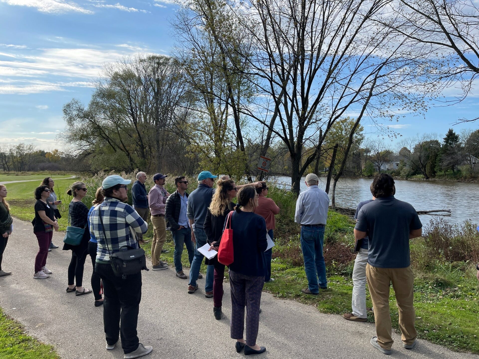
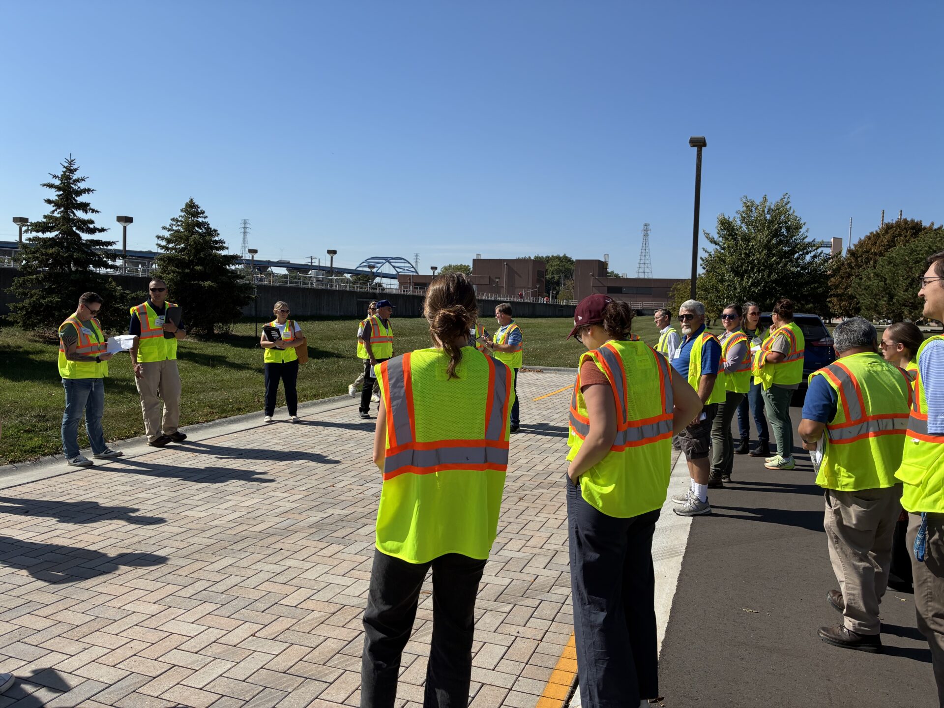
The field tour stopped at four locations across Green Bay — the NEW Water campus, Webster Avenue, Eliza Street, and Danz Park — and showcased three different types of green stormwater infrastructure.

Bioswales

A white car drives past a grassy median

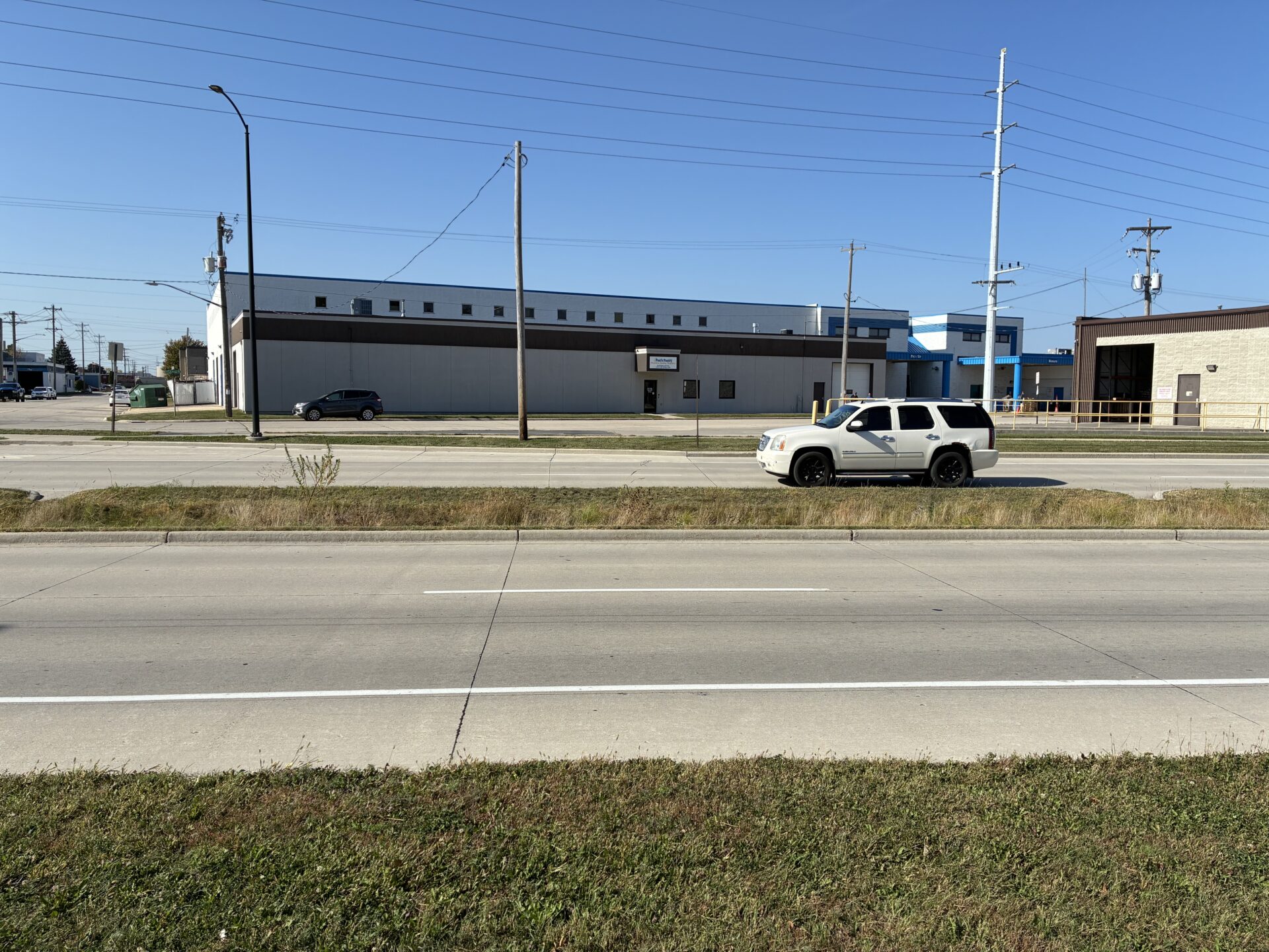
A car drives past the bioswales. Photo: Wisconsin Sea Grant

Built in 2019 as part of a multimillion dollar road reconstruction project, the seven bioswales stretch nearly a mile along Webster Avenue. Curb cuts allow runoff from the road to flow into the shallow depressions, where native plants soak up water and filter contaminants that would have otherwise run directly into storm sewers. The bioswales relieve pressure on the stormwater system and offer natural beauty along one of Green Bay’s main thoroughfares.

They do require some maintenance. “[The bioswales] are the low points of the road,” Adam Meade said. “They’re going to collect all the runoff. So, what that means too is all the trash and debris and sand.”

Increased maintenance in spring, however, is offset by lower maintenance needs in summer. Unlike conventional turf grass medians, the bioswales only require occasional mowing along the borders so plants don’t encroach on the road.

Permeable pavement

A tour group in high visibility yellow vests looks at a section of permeable pavement

A section of NEW Water’s parking lot is permeable pavement. Photo: Wisconsin Sea Grant

Pavement that allows water to run through it, rather than over it, was on display at two sites on the tour. NEW Water, the brand of the Green Bay Metropolitan Sewerage District, recently installed 2,200 square feet of permeable pavers in its parking lot. Water flows into spaces between interlocking pavers, where it filters through several layers of gravel before entering the storm sewer.

The Eliza Street pavers, located at the bottom of a hill in a residential neighborhood, are a different brand but function similarly. They can capture over 1,000 inches of rain per hour, storing and cleaning runoff before it enters the Fox River.

Both systems require annual vacuuming to remove debris clogging the spaces between pavers. Winter also presents challenges, as salt and snowplows can damage the pavers, so special care is taken when clearing these areas.

Native plants

Late afternoon sun lights up a native prairie planting as a person walks through the garden

The Danz Park prairie plants. Photo credit: Wisconsin Sea Grant

Deep-rooted prairie plants are good at soaking up water — and look good while doing it — which makes them suitable for managing runoff and beautifying spaces. In addition to their permeable pavement project, NEW Water showed off their recently seeded prairie, which replaces 1.2 acres of turf grass. Jeff Smudde, director of environmental programs, explained that the planting is part of an effort to increase water infiltration across their properties, of which 46% is impervious.

“We can demonstrate that not only do we talk a good talk, but we walk the walk as well,” he said.

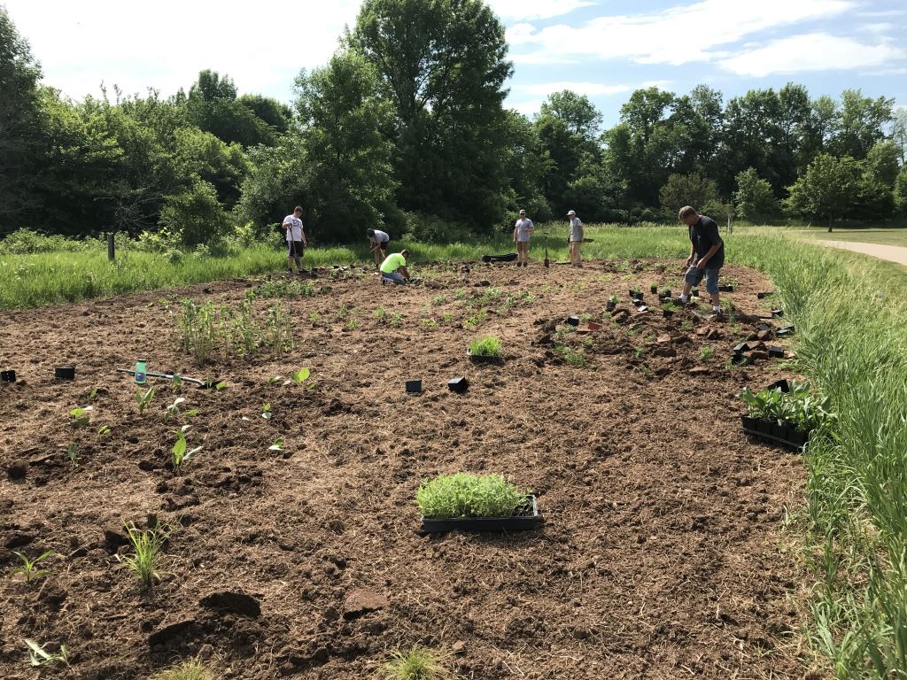
The aesthetic benefits of native plants were clear at Danz Park, the final stop of the tour. Parks Director Dan Ditscheit explained how the city worked with the Green Bay Conservation Corps to install 9,400 prairie plants around Century Grove, an area of 100 trees that commemorates the department’s 100th anniversary. The plants replaced an area of weed-choked wood chips.

“What’s nice about this scenario is that it doesn’t take a lot of maintenance other than coming in and weeding it every so often,” said Ditscheit. “And it reduces the amount of turf that we have to mow on an annual basis.”

The plants are arranged in artful rings and look more landscaped than a traditional prairie. Maria Otto, conservation corps coordinator, said that was intentional to challenge “the misconceptions of native plants looking weedy or wild.” The plantings have attracted attention from neighbors and wildlife alike.

“We actually have homeowners calling us, like, ‘What plants do you have at that site?’” Otto said. “We have a meadow blazing star here, and on one blazing star, there were 10 monarch butterflies.”

***

The University of Wisconsin Aquatic Sciences Center administers Wisconsin Sea Grant, the Wisconsin Water Resources Institute, and Water@UW. The center supports multidisciplinary research, education, and outreach for the protection and sustainable use of Wisconsin’s water resources. Wisconsin Sea Grant is one of 34 Sea Grant programs supported by the National Oceanic and Atmospheric Administration in coastal and Great Lakes states that encourage the wise stewardship of marine resources through research, education, outreach, and technology transfer.


The post Stormwater infrastructure tour puts the ‘green’ in Green Bay first appeared on Wisconsin Sea Grant.

Original Article

News Releases | Wisconsin Sea Grant

News Releases | Wisconsin Sea Grant

https://www.seagrant.wisc.edu/news/stormwater-infrastructure-tour-puts-the-green-in-green-bay/

Jenna Mertz

The Nature Conservancy's Kari Hagenow shows Governor Tony Evers a map of the East River watershed

The Nature Conservancy’s Kari Hagenow (left) shows Gov. Tony Evers (middle) and Department of Administration Secretary Kathy Blumenfeld (right) a map of the East River watershed. Photo: Wisconsin Sea Grant

On a sunny Tuesday at Van Beaver Park in Green Bay, the East River Collaborative hosted Gov. Tony Evers on a walking tour that showcased four years of work building flood resilience along the East River.

Earlier this week, Evers announced $1.3 million in funding for Wisconsin’s Great Lakes communities through the Wisconsin Coastal Management Program. The East River Collaborative — collectively supported by Wisconsin Sea Grant, The Nature Conservancy, and NEW Water, the brand of the Green Bay Metropolitan Sewerage District — was one of 31 projects to receive grants. The Fund for Lake Michigan will also be providing financial support for the East River Collaborative’s project.

Julia Noordyk, water quality and coastal communities outreach specialist with Wisconsin Sea Grant, expressed gratitude for the program’s continued support of the collaborative. “They have really invested in the East River flood resiliency project since the beginning,” she said.

Spurred by historic flooding in March 2019, the East River Collaborative formed in 2020 to bring communities together to improve water quality and build resilience to floods.

The Nature Conservancy’s Kari Hagenow discussed this history while gesturing to flood maps on easels. Previous WCMP funding allowed the collaborative to create maps and models of the flooded area, conduct interviews and develop a framework for increasing flood resiliency in communities along the river.

“In terms of phosphorus and sediment, [the East River] is one of the highest loading tributaries to the bay of Green Bay, so we know that the work that we’re doing will not only benefit flood resilience, but it’s also going to benefit water quality in the bay of Green Bay and better fish and wildlife habitat in the system,” said Hagenow.

Six people of the East River Collaborative project time pose for a photo with Tony Evers.

The East River Collaborative project team poses for a photo with Gov. Evers. From left to right: Nicole Van Helden, Julia Noordyk, Kari Hagenow, Gov. Tony Evers, Whitney Prestby, Adam Bechle, Natalie Bomstad, and Angela Kowalzek. Photo: Wisconsin Sea Grant

Gov. Evers and the tour group then crossed the park to get a better view of the river, which rolled peacefully as a great blue heron flew overhead.

The same park, however, was less serene in 2019 when nearby homes were evacuated and inundated with floodwaters. Noordyk discussed how the new grant will allow the collaborative to better engage with and elevate the concerns of residents hardest hit by flooding.

“We are really trying to expand our capacity to do more community engagement in underserved neighborhoods and try to get voices at the table, understand what’s going on and what people think,” said Noordyk.

The grant will fund a new partnership with the University of Wisconsin–Madison Division of Extension Natural Resources Institute and Wello, a local health equity nonprofit, to develop a survey and gather feedback from the community. The goal, Noordyk said, is to bring those perspectives to the table when municipalities start planning projects.

The tour also showcased the work that East River communities have already undertaken to soak up water and increase recreational opportunities. Brad Lange, village administrator of Allouez, discussed the development of a future “water trail” in the East River. 

“The state doesn’t have many water trails, but we are looking at creating kayak-canoe launches,” said Lange. The goal would be for paddlers to traverse the river unobstructed from the town of Ledgeview to downtown Green Bay. 

A kayaker in a red kayak paddles along the East River

A kayaker paddles down the East River at the perfect moment. Photo: Wisconsin Sea Grant

Bellevue Village Administrator Ben Krumenauer also discussed the village’s improvements to the East River Trail, a 10-mile multi-use path along the river that experiences flooding throughout the year. The village will be repairing deteriorating boardwalks and repaving sections of the trail.

To the tour group’s delight, the value of recreation was on full display. While Krumenauer spoke, a kayaker appeared in the river behind him and paddled quietly downstream. It was a picture-perfect moment that someone jokingly questioned as orchestrated.

“We can’t pay [for] that perfection,” laughed Krumenauer.

In his final remarks, Governor Evers echoed the value of wetlands for soaking up water and supporting recreation. Not only will local communities benefit from these projects, he said, but also bikers, hunters, anglers and paddlers across the state.

“This is also going to offer opportunities for increased recreation,” said Evers, and “using the river in a good way.”

The post East River Collaborative garners a visit from the governor and new grant funding first appeared on Wisconsin Sea Grant.

Original Article

News Releases | Wisconsin Sea Grant

News Releases | Wisconsin Sea Grant

https://www.seagrant.wisc.edu/news/east-river-collaborative-garners-a-visit-from-the-governor-and-new-grant-funding/

Jenna Mertz

A group of people stand on a paved path alongside the East River in Green Bay near the site of worst flooding in 2019

A group surveys a site along the East River in Green Bay that was hardest hit by flooding in 2019. Photo: Lamont Smith, The Nature Conservancy

Since 2020, the East River Collaborative has demonstrated that it takes a village—and coordination between municipalities, state and federal government, nonprofits and universities—to improve water quality and flood resilience at the watershed level.  

“It’s very challenging for municipalities to work across boundaries with other municipalities,” said Julia Noordyk, water quality and coastal communities outreach specialist with Wisconsin Sea Grant. Noordyk works alongside partners at The Nature Conservancy and NEW Water (the brand of the Green Bay Metropolitan Sewerage District) on a core team that provides coordination and technical assistance to communities in the East River watershed. 

“Every community is extremely different, and we’re not there to tell them what to do,” said Noordyk. Municipalities in the watershed span the rural-urban spectrum and vary in population, budget size and capacity.  

“We’re there to listen and to figure out how to help them achieve flood resiliency based on what their community’s goals are.” 

The 40-mile-long East River spans three counties in northeastern Wisconsin—Calumet, Manitowoc and Brown—and passes through agricultural, suburban and urban landscapes before it meets the Fox River and empties into the Bay of Green Bay. Historic flooding in March 2019 resulted in 50 houses being condemned and spurred the creation of the East River Collaborative the following year. 

Since that time, the collaborative has worked with communities to identify shared goals across the watershed and developed maps and models to visualize flooding impacts. Now, with a new wave of grant funding, the collaborative is moving to the next phase: developing an implementation plan to identify and prioritize new projects. 

People plant pollinator plants along the East River

Volunteers replace turf grass with native plants along the East River in Ledgeview. Photo credit: Stephanie Schlag, town of Ledgeview

To help communities make these decisions, the East River Collaborative team is building a new tool to evaluate how well different nature-based solutions capture, slow and clean stormwater on the landscape. Nature-based solutions include practices like planting native plants, using rain barrels, building agricultural runoff storage systems and stabilizing streambanks.

Even though the tool is still in the planning stages, communities aren’t waiting to get local projects off the ground.  

At the fourth annual East River Collaborative Winter Forum in February, partners gathered virtually to share their work restoring wetlands, removing invasive species, planting pollinator plants and designing canoe/kayak launches for the East River water trail—among many other projects.  

“[The implementation plan] has really been a catalyst for other communities to think about this and start moving forward on resiliency themselves,” said Noordyk. 

Another goal of the implementation phase is to build relationships with underserved residents who are likely to experience flooding and need the most support to recover from it due to factors like income, language and age.

A federal grant from NOAA Digital Coast will allow partners to connect with and learn from other municipalities that have worked with underserved communities on similar projects. The team is also pursuing funding for a survey that will gather residents’ feedback on strategies to prepare for and reduce flooding.

Adam Bechle, Wisconsin Sea Grant coastal engineering specialist and member of the East River Collaborative core team, is particularly excited to work with partners on establishing a flood warning system for the river. 

“We worked with the Army Corps of Engineers and the National Weather Service and other partners to figure out what needs to happen so that the Weather Service can start putting together a forecast model,” said Bechle. 

Both he and Noordyk said it’s been encouraging to see communities’ sustained interest in working together on these issues, even when flooding isn’t an imminent threat.  

“We still have the same number of people showing up to meetings as when we kicked off,” said Bechle.

The East River Collaborative has been funded by the Wisconsin Coastal Management Program, National Oceanic and Atmospheric Administration, The Fund for Lake Michigan and National Fish and Wildlife Foundation. To learn more, visit the East River Collaborative’s website.

The post Northeastern Wisconsin communities build flood resilience at the local and watershed level first appeared on Wisconsin Sea Grant.

Original Article

News Releases | Wisconsin Sea Grant

News Releases | Wisconsin Sea Grant

https://www.seagrant.wisc.edu/news/northeastern-wisconsin-communities-build-flood-resilience-at-the-local-and-watershed-level/

Jenna Mertz