Shipboard Science Workshop earns “favorite project” status
The calendar will soon flip to 2024. Our staff members are ready to tackle new projects in the coming months. Before they move more deeply into the new year, however, some staff members took a moment to retain the glow of their favorite 2023 project. Adam Bechle shared his thoughts. He’s our coastal engineering outreach specialist.
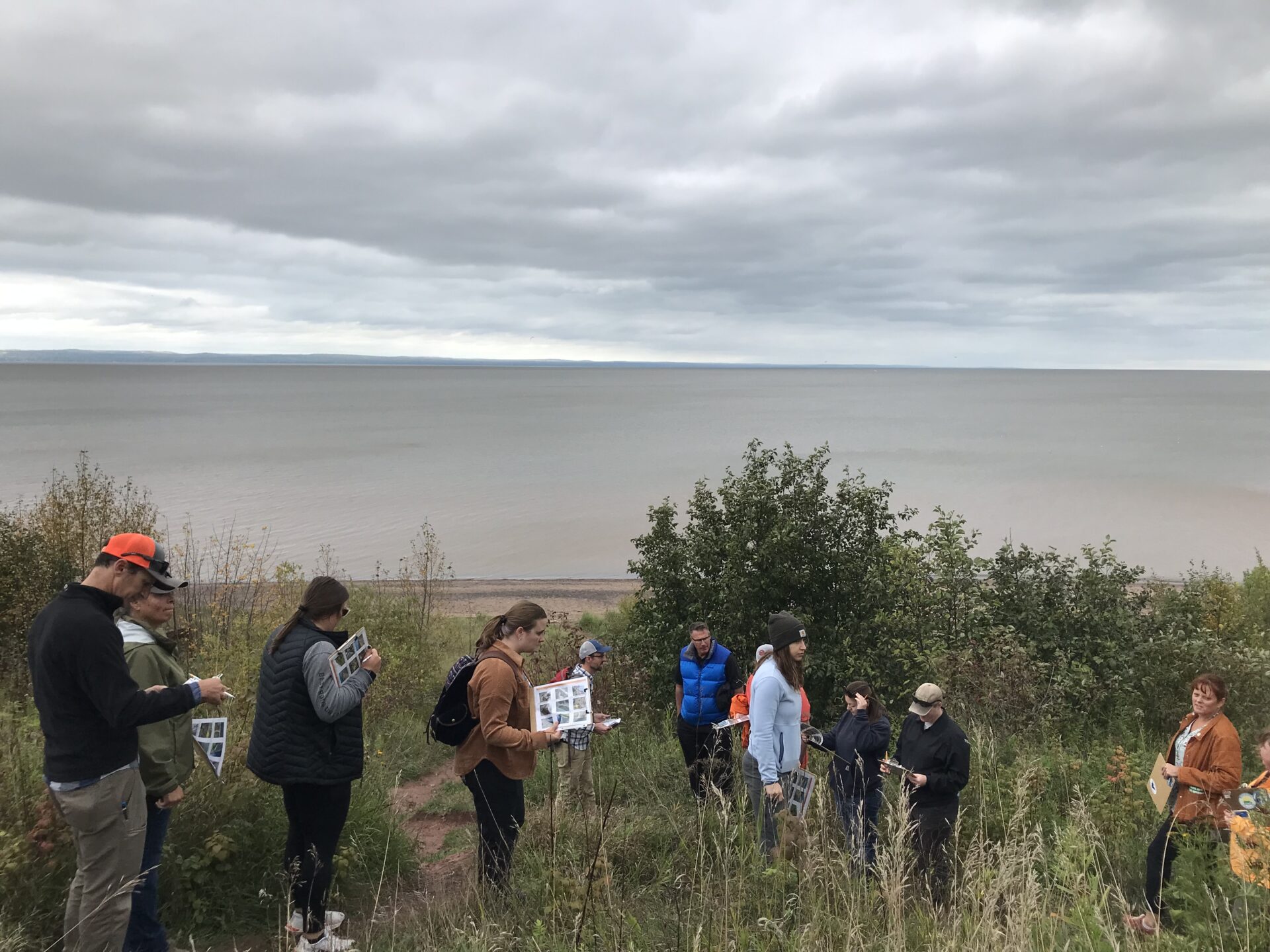
My favorite project for 2023 was helping organize a shipboard science workshop for educators in Milwaukee. Wisconsin Sea Grant’s Anne Moser and Ginny Carlton organized this annual professional learning opportunity through the Center for Great Lakes Literacy. This year, I was invited along to help bring a coastal engineering focus to the workshop.
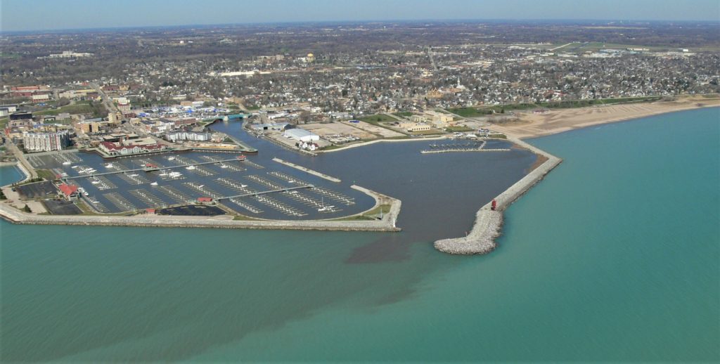
The centerpiece of this workshop was two days aboard the R/V Neeskay, the research vessel of the UW-Milwaukee School of Freshwater Science. The Neeskay was an excellent platform from which to explore the coastal processes and engineering that shape Milwaukee’s lakefront.
Our itinerary was planned in close collaboration with the Neeskay’s Captain Max Morgan and the SFS’s Manager of Outreach Programs Liz Sutton. Our journey took us through three unique environments: the inner harbor, outer harbor and open Lake Michigan.
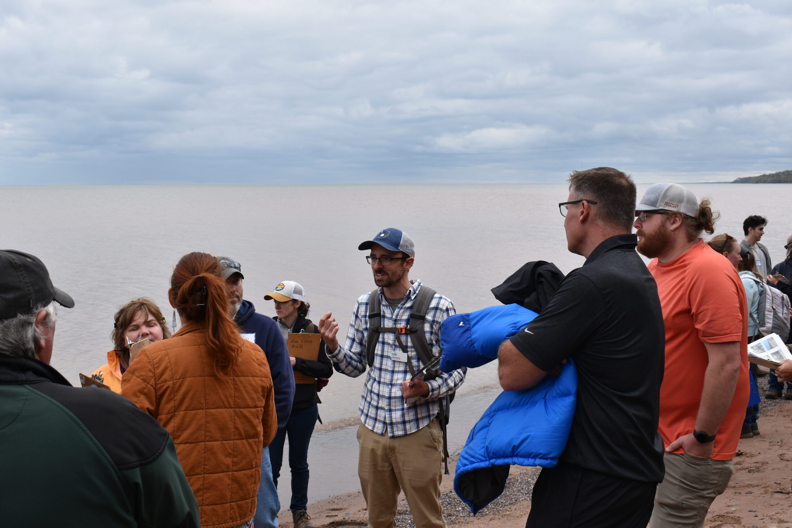
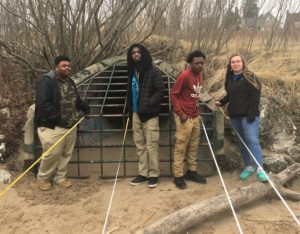
Adam Bechle instructs educators during the Shipboard Science Workshop in 2023. Image credit: Anne Moser
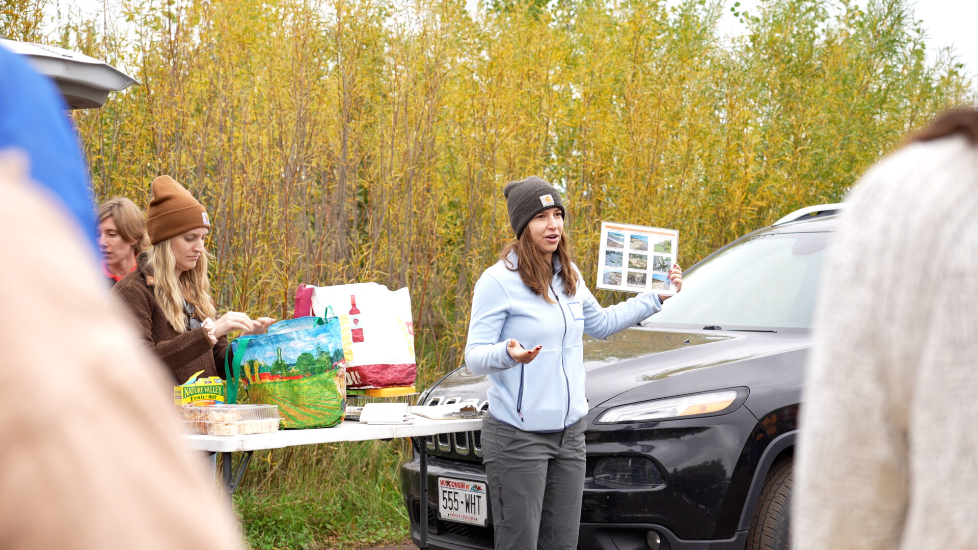
At each location, participants measured water quality, temperature and lake-bottom sediments. These observations helped us understand how waves, currents and other processes impact the three environments. We also got to see underwater video of the different habitats along the lakefront, which have been mapped on UW-Milwaukee’s Harbor Maps. This included a look at the species that inhabit Milwaukee’s “green breakwall,” which was designed to provide aquatic habitat benefits.
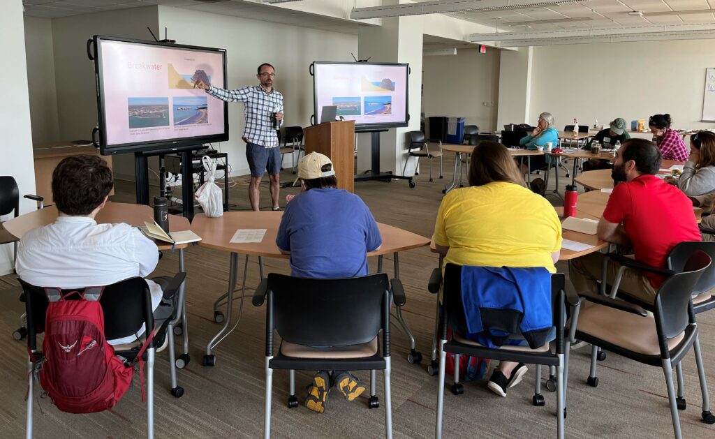
Back on land, we introduced the educators to a hands-on wave tank activity to take back home to their learners. In this activity, learners use a simple wave tank to explore how a sand beach responds to different waves and water levels. Learners then get to design, build and test a coastal structure to slow erosion. Using what they learned, several participants took a nature-based approach to their design.
This project was full of good things: A cohort of enthusiastic educators to work with; productive collaboration with great partners; two days of beautiful weather on Lake Michigan. I learned a lot about Milwaukee’s lakefront and left feeling energized about future work.
The post Shipboard Science Workshop earns “favorite project” status first appeared on Wisconsin Sea Grant.Blog | Wisconsin Sea Grant
https://www.seagrant.wisc.edu/blog/shipboard-science-workshop-earns-favorite-project-status/
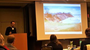
 The Zoom session featured Bechle along with speakers from the U.S. Army Corps of Engineers—Detroit District, National Weather Service Forecast Office in Milwaukee/Sullivan and the Wisconsin Department of Natural Resources. The Wisconsin Coastal Management Program and local governments also played a role in putting the session together. About 112 participants watched it live.
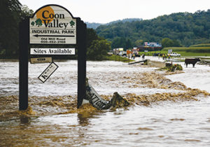
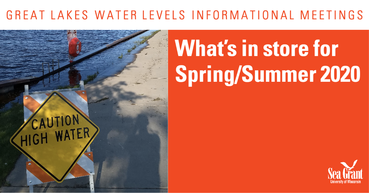 Great Lakes water levels have been at or near record highs in recent months, prompting concern among many Wisconsin residents.