Tree Equity Grants Restore Urban Tree Canopies in Illinois, Indiana, and Wisconsin
Each year in the United States, urban tree cover decreases by an estimated 36 million trees, or 175,000 acres. For perspective, New York City’s Central Park contains about 18,000 trees, meaning the U.S. loses 2,000 times the number of trees in Central Park each year to factors like urban development, industry, climate change impacts, and lack of tree maintenance.
This loss, which costs the U.S. economy approximately $96 million per year, increasingly deprives urban communities of the health benefits that tree canopies provide for humans, wildlife, and the environment.
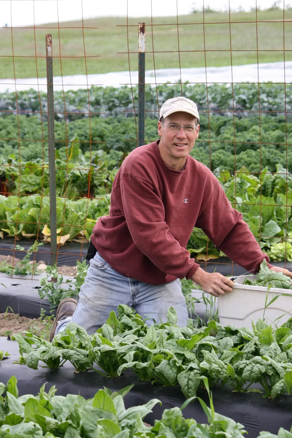
“Trees are magical,” says Reverend Brian Sauder, president and CEO of nonprofit environmental advocacy organization Faith in Place. “You plant trees on the block, and you increase life expectancy because they bring shade in a heatwave. They help filter out the pollutants from diesel exhaust of the trucks going by, and the aesthetic beauty they provide for wellbeing and health is super important.”
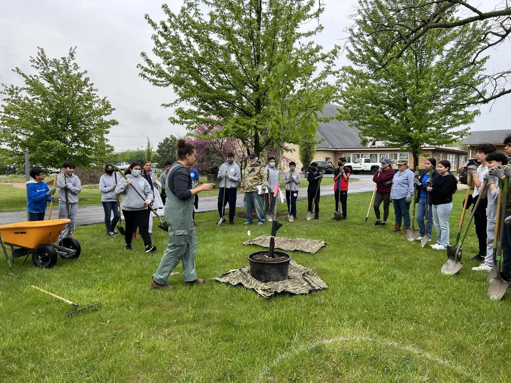
A tree planting facilitated by Faith in Place. Credit: Faith in Place.
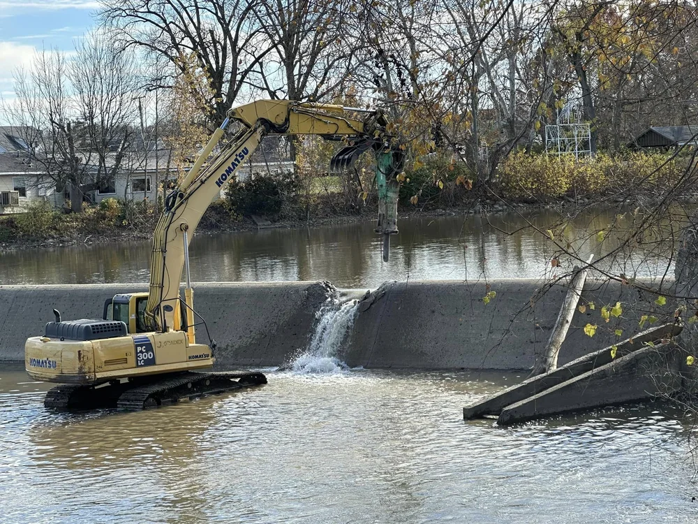
Trees are also important tools in the effort to restore and protect the Great Lakes and the waters that feed the lakes. Trees filter rainwater, prevent stormwater runoff and soil erosion, increase property value, and provide important habitat for wildlife like birds and squirrels. Amid worsening climate change, adequate tree cover also conserves energy by reducing air conditioning needs as much as 30 percent, and can help cool cities by up to 10 degrees Fahrenheit.
In 2021, tree equity studies confirmed that socially and economically disadvantaged communities are more likely to experience the negative effects of urban tree loss. On average, communities with high levels of poverty have approximately 41 percent fewer trees than their wealthier counterparts.
“Where trees are planted in cities and municipalities and urban centers tends to be where the wealth resides,” explains Sauder. “The history of redlining, of racism, of disinvestment in communities for various reasons has led to less tree canopy in those communities. It kind of perpetuates this cycle.”
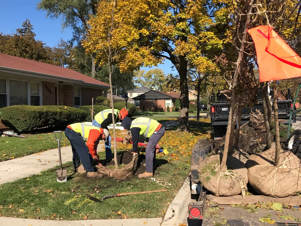
A tree planting facilitated by Faith in Place. Credit: Faith in Place.
To help combat this inequity, Faith in Place was awarded $1.99 million by the U.S. Forest Service’s Urban and Community Forestry Program to increase urban tree canopies in the Great Lakes region. Made possible by the Inflation Reduction Act, the federal law that is investing billions of dollars to help communities combat climate change, these funds will allow Faith in Place to facilitate tree planning and workforce development projects at faith institutions and 501(c)(3) nonprofit organizations serving disadvantaged communities throughout Illinois, Indiana, and Wisconsin. Through this grant, $1.6 million will be given to community organizations and Houses of Worship within environmental justice communities across these three states to plant and maintain trees on their properties.

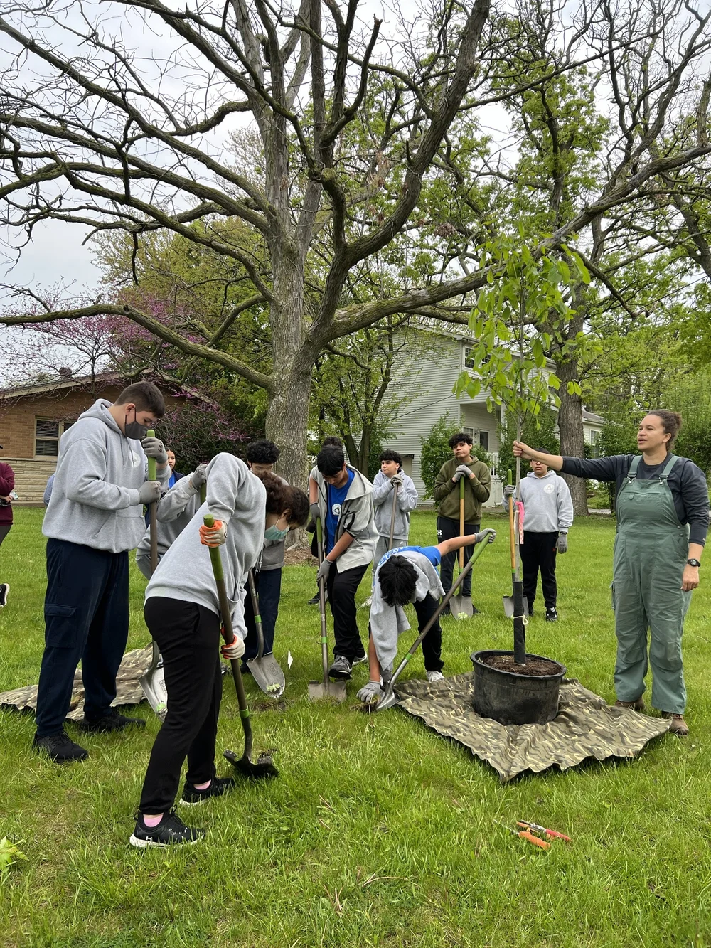
A tree planting facilitated by Faith in Place. Credit: Faith in Place.
“We're supporting 65 to 85 community-led, community-based tree planting projects across the three states,” says Sauder. “One hundred percent of this funding will go to areas that have been historically divested from for building up a tree canopy.”
Faith in Place is the Illinois, Indiana, and Wisconsin affiliate of Interfaith Power and Light, a nationwide network of people of faith working together to combat climate change and environmental issues. For its tree planning projects, the organization anticipates applications from a variety of diverse community organizations and faith institutions, including churches, mosques, synagogues, religious schools, and community-based nonprofit organizations. To qualify for funding, applicants must be located in Illinois, Indiana, or Wisconsin and be located in and serve a disadvantaged community identified by the White House Council on Environmental Quality’s Climate and Economic Justice Screening Tool.
“Each community’s needs, tree canopies, and land are going to be different,” says Sauder. “The applicants that will be the strongest will support an equitable green workforce either in sharing about forestry careers with their community or through who they hire to maintain care for the trees.”
By spring 2025, accepted projects will receive up to $30,000 to invest in planting and maintaining trees for the tree canopy in their community. Once trees are planted, Faith in Place will partner with grantees for four years to facilitate workforce development in the form of tree maintenance like watering and mulching.
“That can look however the faith community wants it to look,” says Sauder. “Maybe they'll have a partnership in the community with a company that employs people coming out of prison, or maybe they'll want to work with their Sunday school class at a certain age to really learn about tree careers and take responsibility for the maintenance.”
Projects will plant non-invasive trees. Trees that are invasive in the regions will not be planted. Regional staples such as oaks and maples will likely be common choices, says Sauder, but these projects also offer the potential for applicants to create a neighborhood food source by investing in fruit orchards that produce apples, pears, cherries, persimmons, and other Midwestern fruits.

A row of trees planted in Danville, Illinois following facilitation by Faith in Place. Credit: Faith in Place.
Prior to the proposal deadline on November 21, 2024, Faith in Place will host both virtual and in-person workshops to educate its faith partners on the importance of urban tree cover. In addition to these workshops, prospective applicants can learn more about the application process through a 10-page online toolkit. This step-by-step guide includes information on grant eligibility, required submission materials, an evaluation rubric, a sample project proposal, and tips for developing a compelling project plan.
Once submitted, Faith in Place will review applications based on whether the applicant’s goals are clear and realistic, whether they include a workforce development component, the presumed environmental benefits of the project, cost efficacy, and the applicant’s chance of success in terms of tree health and longevity.
“It’s really about the long-term relationships with the trees and cultivating them so that they thrive,” Sauder says. “That’s really the focus from both the U.S. Forest Service and Faith in Place.”
Although Faith in Place has more than 350 established faith partners in its tri-state area, Sauder is hopeful the organization will meet some new faces through these projects.
“The vision is that you walk into any community, and you ask somebody on the street, ‘Who's leading the way for environmental and racial justice?’ and they point to the local mosque, synagogue, temple, church, or parish, and say, ‘Check out what the local faith institution is doing,’” Sauder explains. “That vision is what we work for every day.”
Visit FaithInPlace.org/tree-canopy-community-grant to learn more and apply.
Latest Updates - Healthy Lakes
Latest Updates - Healthy Lakes
https://www.healthylakes.org/latest-updates/tree-equity-grants-restore-urban-tree-canopies-in-illinois-indiana-and-wisconsin