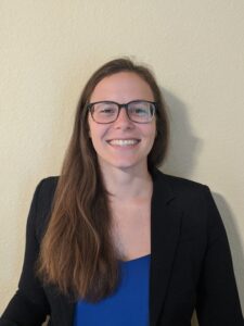
For new Keillor Fellow, social equity is an important element of coastal community resilience
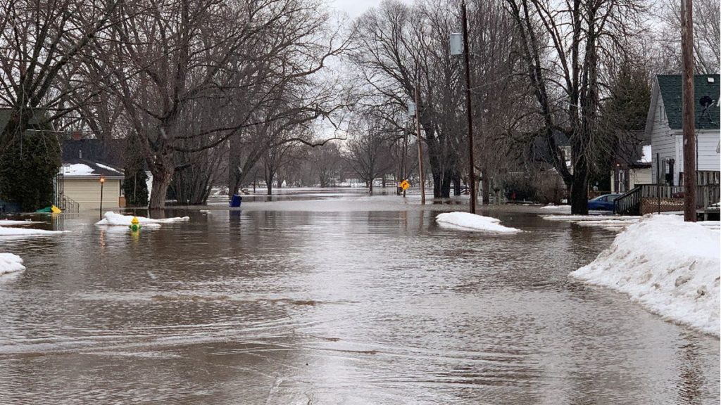
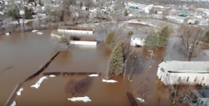
Equity is top of mind for the newest J. Philip Keillor Wisconsin Coastal Management-Sea Grant Fellow, Hannah Paulson. Over the next year, she’ll bring that lens to bear in her efforts at the Wisconsin Department of Administration’s Coastal Management Program (WCMP), where she’s helping communities build their resilience to coastal hazards like bluff erosion and flooding.
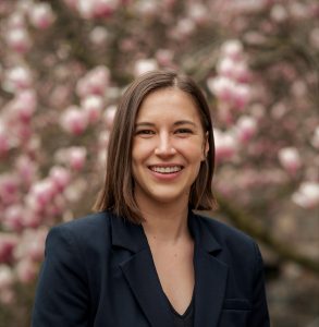
Hannah Paulson (submitted photo)
For Paulson, a native of Manitowoc, Wisconsin, thinking about equity and vulnerable populations encompasses many factors. “While there are many ways to define social equity and social vulnerability, for me, it incorporates everything: socioeconomic status, age, accessibility to public areas, historical redlining and exclusionary practices… I want to be as inclusive as possible as we look ahead toward what resilience will mean in Wisconsin.”
During graduate studies at the University of Michigan, Paulson came to see how vulnerable people were sometimes not factored into community planning. Working with five other students in her program, she helped conduct over 50 interviews with coastal leaders in the Great Lakes region on both the U.S. and Canada sides.
Some of those leaders were disconnected from changing demographics in their communities. As a result, said Paulson, underserved populations are “not really incorporated into planning, and it just leads to more issues down the road.”
In many cases, it was limited capacity that hindered local leaders’ ability to factor equity issues into planning. “These are huge issues that require a significant amount of money to address the root cause, and sometimes local leaders don’t have the money or the staff capacity to get grants (to address these problems),” Paulson acknowledged. “Some communities are working with very little resources.”
During her time with WCMP, Paulson’s main project is contributing to the ongoing work on the Coastal Processes Manual. Her mentors there are Kate Angel, Todd Breiby and Lauren Leckwee. She’s also working with Sea Grant Coastal Engineering Specialist Adam Bechle, with whom she’s collaborating on a chapter about erosion and shoreline recession, which covers topics like the physics of bluff erosion.
Although she is interested in potentially working on marine issues someday, an affinity for Great Lakes coastal communities comes naturally to Paulson, who grew up near Lake Michigan. In college, she “came to appreciate how unique the freshwater resources we have here are.”
In addition to equity concerns, Paulson also has a strong interest in nature-based solutions for stabilizing shorelines, such as restoring wetlands and incorporating natural structures to absorb wind and wave action.
Paulson is eager to make the most of the professional development opportunities offered by her Keillor Fellowship year, such as learning more about how state governments and the federal government interact. “I’m seeking out every webinar, every conference and every field experience,” she said, as well as lining up informational interviews to learn more about coastal career paths.
Having started in late August, Paulson is already a couple of months into her fellowship experience. She’s finding it a rewarding way to continue her career development after earning her bachelor’s degree in conservation biology at the University of Wisconsin and master’s in ecosystem science and management at Michigan.
As Paulson summed it up, “Like Emily (Rau, her predecessor in the fellowship), I looked at other fellowship programs and ended up here since the staff is so supportive and so fantastic. They are committed to making sure this is a mutually beneficial experience. I’m already very happy with my choice.”
The post For new Keillor Fellow, social equity is an important element of coastal community resilience first appeared on Wisconsin Sea Grant.News Releases | Wisconsin Sea Grant
News Releases | Wisconsin Sea Grant
https://www.seagrant.wisc.edu/news/for-new-keillor-fellow-social-equity-is-an-important-element/?utm_source=rss&utm_medium=rss&utm_campaign=for-new-keillor-fellow-social-equity-is-an-important-element